| front |1 |2 |3 |4 |5 |6 |7 |8 |9 |10 |11 |12 |13 |14 |15 |16 |17 |18 |19 |20 |21 |22 |23 |24 |25 |review |
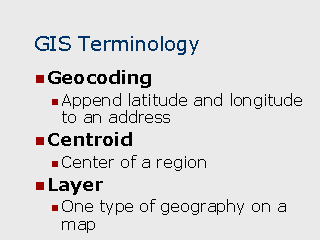 |
GIS Terms and Their Meanings: Geocoding – The process of determining the coordinates of a specific location based on its street address or its existence within a known region. Coordinates can be assigned as a pair of XY coordinates or a latitude and longitude. Centroid – The coordinates representing the center of a region. Generally there are two types of centroids: Geographic Centroid – Represents the geometric center of the region. In the case of a circle or a square, the centroid will always be equidistant from the sides. Population Centroid – Represents the point inside of a region containing the greatest population density. Layer – Layers in a GIS system can be thought of as transparent overlays over the map, each containing a different type of geography. For example, typical layers in a map could include: highways, census tracts, patient locations, county boundaries, etc. By keeping them in separate layers, the lines and symbols used to depict the geographical features can be applied by layer to differentiate by color or line style, for example, census tract boundaries can be distinguished from zip code boundaries by using a different dotted versus solid lines. |