| front |1 |2 |3 |4 |5 |6 |7 |8 |9 |10 |11 |12 |13 |14 |15 |16 |17 |18 |19 |20 |21 |22 |23 |24 |25 |review |
 |
While computer mapping has
provided a means to visualize disease cases based on their geographical location, this
visualization alone does not provide enough information to determine whether a pattern of
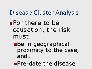
disease truly exists. This can be illustrated by viewing a typical map containing disease cases indicated as points on the map. Visually identifying clusters may not always be meaningful if the cases are not also related by time. The time element is important for two reasons: If there is a source of transmission for the disease, exposure to the source must pre-date the disease. In the case of infectious disease spread by person-to-person contact,, the incidence of the cases must be related to each other. As an example, identifying a group of 50 cases within a relatively small area over a period of 10 years is not as meaningful as 50 cases over 6 months. Another way to look at it is that for a number of disease cases to be spatially related, everyone living the in geographical region in which the cluster is located will be at an elevated risk for the disease. Testing for both a spatial/temporal relationship can be done statistically. Software also exists to perform cluster analysis (Satscan, 1999) "SaTScan uses either a Poisson based model, where the number of events in an area is Poisson distributed under the null hypothesis, or a Bernoulli model, with 0/1 event data such as cases and controls. The program adjusts for the underlying homogeneity of a background population. With the Poisson model it can also adjust for any number of categorical covariates provided by the user." Recommended Readings |