| front |1 |2 |3 |4 |5 |6 |7 |8 |9 |10 |11 |12 |13 |14 |15 |16 |17 |18 |19 |20 |21 |22 |23 |24 |25 |review |
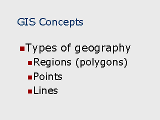 |
Regions – Refer to
geographic features which can be described by a polygon. Regions can include states,
counties, zip codes, census tracts, or block groups. Lakes – Refer to "holes" in a region. For example, a city boundary which includes an unincorporated area within its boundary would contain a lake. Islands – Refer to regions which are not contiguous with another region. For example, a city boundary in a large unincorporated area would be a geographic island since there would be no other cities adjacent to it. Points – Refer to geographic features which can be described by a single latitude and longitude pair. Points are typically used to depict address locations. Also, points may sometimes be used to depict regions when the map is at a large scale. For example, city boundaries on a map of the entire United States would not normally be large enough for boundaries to be discernable, so they would be depicted with a point instead. Lines – Refer to any geographic feature that can be described by straight or curved line segments. Lines are typically used to describe roads, highways, commuter patterns, rivers, streams, etc. |