| front |1 |2 |3 |4 |5 |6 |7 |8 |9 |10 |11 |12 |13 |14 |15 |16 |17 |18 |19 |20 |21 |22 |23 |24 |25 |review |
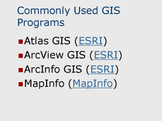 |
Atlas GIS A full featured GIS program with an emphasis on publication quality mapping. Atlas has a very centralized interface which makes it among the easiest GIS programs to learn and use. Atlas is customizable through it’s Visual Basic based scripting language. ArcView GIS ArcView’s strength is in its programmable customization features which allow it to be configured with custom tools and menu options. There are a large number of readily available scripts written for ArcView to accomplish specific tasks. ArcInfo ArcInfo is a professional enterprise GIS solution and is available for UNIX and Windows NT workstation environments. It offers automation, management, display, and professional-quality output of geographic and associated multimedia data. MapInfo Version 6.0 of MapInfo includes support for the newest release of Oracle8i, HotLinks for immediate Internet connectivity and built-in 3D graphic capabilities.
|
