| front |1 |2 |3 |4 |5 |6 |7 |8 |9 |10 |11 |12 |13 |14 |15 |16 |17 |18 |19 |20 |21 |22 |23 |24 |25 |review |
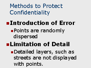 |
When disseminating maps to
the general public, there are a number of methods which can be used to protect the privacy
of the individuals’ data: Introduction of Intentional Error When used: Typically used when a map contains point locations representing individuals or incidence of disease together with detailed street patterns. Method: The method simply consists of introducing a random error into the placement of the points. In effect, each point is shifted in a random direction by a random distance (within a given range). The range used for the dispersal is typically one which will not alter the map sufficiently to change the conclusions which would be drawn from it but enough to make it difficult to match up points to exact locations on streets. Generally, a range between Ľ mile to ˝ mile is sufficient for this purpose. An important aspect to the dispersion method is that the map should be annotated to indicate that point placements do not reflect exact locations. This, not only states the limitation of the map’s functional accuracy for analytical purposes, it also decreases the likelihood that individuals viewing it will attempt to match up points to specific addresses. Limitation of Geographic Detail This method has the advantage of not affecting the accuracy of the data and can be one of the easiest to employ. In the case of the map which contains point location map for STD cases together with streets, the simple removal of the street layer would likely remove the ability for anyone to be able to match up a case to a specific address. The resulting map would contain points but not other geographic features that would provide sufficient detail to establish the exact locations of the points. |