| front |1 |2 |3 |4 |5 |6 |7 |8 |9 |10 |11 |12 |13 |14 |15 |16 |17 |18 |19 |20 |21 |22 |23 |24 |25 |review |
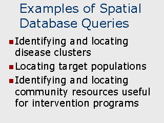 |
Spatial Database Query
– Since a GIS can be thought of as essentially being a large relational database, it
is possible to relate or integrate different tables based on spatial characteristics and
use the spatial statistics together with a database query to identify records meeting a
criteria. For example, you would like to identify which male patients who visited a county
clinic in the past 90 days reside within 2 miles of a county clinic. This can be
accomplished in two steps: The first step would be to identify the records which met the database query criteria (E.G. males who visited the clinic in the past 90 days).
|