| front |1 |2 |3 |4 |5 |6 |7 |8 |9 |10 |11 |12 |13 |14 |15 |16 |17 |18 |19 |20 |21 |22 |23 |24 |25 |review |
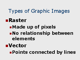 |
Raster Graphics Typically are used to display photos. In a GIS database, raster images may be used to display a satellite or arial photo together with geographic features. This provides the ability to view natural boundaries and features which may not have been digitized. Vector Graphics A series of digitized points which have been joined together by lines. Geographic features in a GIS are typically in a vector format. Regioins are simply a series of points joined together to form a bounded polygon. |