| front |1 |2 |3 |4 |5 |6 |7 |8 |9 |10 |11 |12 |13 |14 |15 |16 |17 |18 |19 |20 |21 |22 |23 |24 |25 |review |
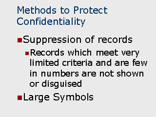 |
Data suppression is an
approach where, instead of altering the data, they are physically suppressed in certain
instances. Data Suppression When used: Generally, when there are a few records that meet limited criteria and they are small in numbers. For example, a map or associated report showing regions such as zip codes, census tracts, or block groups, which contain one or two records in a region with a sufficiently detailed description to determine the individual’s identify. The issue tends to occur when the number of records is smaller since there are then fewer possibilities as to the individual’s identify. Method: There are two general approaches when dealing with suppression of records in maps. The first consists of maintaining the location of the points on the map but suppressing some or all of the descriptive information (such as age, gender, etc.) about the point. The second approach consists of suppressing the point entirely. Although, complete suppression of the record is the best approach from a data security standpoint, it may not necessarily be the best approach from an analytical standpoint. Since, in most cases, the purpose of maps is to indicate large concentrations of persons or events, the suppression of remotely located individual points will often not limit the functionality of the map. This is particularly true when there are a large number of points which, in effect, makes the remotely located points outliers that might normally be excluded for analysis. Data Suppression When used: Typically used when a map contains relatively few point locations representing individuals or incidence of disease together with detailed street patterns for a small area. Method: Extremely large symbols are used to depict point locations. This has the effect of partially obscuring the immediately surrounding area, making the precise street location difficult to determine. Selective labeling of streets can also be used to aid in the suppression of the exact locations. |